Index of All Cemeteries Alphabetical Index of All Burials Previous Page
Use the following to search across all the cemeteries listed.
Example: "Smith, Roger" (yes, use the quotes)
618 UNKNOWN - POSSIBLY HOLT [L76.2]

Location: Cape Fear Township. Southeast of intersection of Pea Ridge Road and New Elam Church Road.
Coordinates: 35d 39m 14.8s N; 79d 02m 32.9s W Click here for Online Maps
This cemetery was reported and markers photographed by Boe Goodwin in 2023. It is on property to be developed and the developer has suggested that they might submit a proposal to move the graves to New Elam Christian Church cemetery (L76.1).
Owner: Cove Creek Properties LLC and LMM Investors
Topo Quadrant: Merry Oaks
Family Cemetery: Yes.
Status: Abandoned.
Number of graves: Unknown--At least three.
Cemetery size: Unknown.
White: Probably.
Restricted access. Private property.
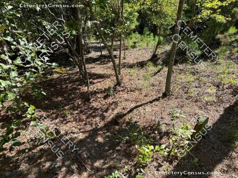
Overgrown. Easily identifiable.
Enclosed: No.
Markers are present. Not inscribed.
Hazards: Proposed removal.
Not listed in previous publications.
Other information: RGA did pedestrian survey for the developer. Three fieldstone gravemarkers were identified. No effort was made to deliniate the extent of the cemetery or determine the number of graves that might not be visible on the surface. A report has been provided that gives details about the cemetery and a history of the property ownership by the Holt and Womble families: Preliminary report on L76.2 Unknown Possibly Holt cemetery
 Unknown, Unknown (b. Unknown - d. Unknown) Unknown, Unknown (b. Unknown - d. Unknown)  Unknown, Unknown (b. Unknown - d. Unknown) Unknown, Unknown (b. Unknown - d. Unknown)  Unknown, Unknown (b. Unknown - d. Unknown) Unknown, Unknown (b. Unknown - d. Unknown)
Web page updated 2 October 2024
Index of All Cemeteries Alphabetical Index of All Burials Previous Page
|
|
 |


