Index of All Cemeteries Alphabetical Index of All Burials Previous Page
Use the following to search across all the cemeteries listed.
Example: "Smith, Roger" (yes, use the quotes)
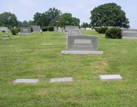
484 UNKNOWN CEMETERY (Old Westfield Rd)
Location - off 1149 Old Westfield Rd about 855 feet west of the road and 0.8 mile south of Jessup Grove Church Rd.
Coordinates: 36d 25m 08.4s N; 80d 28m 24.7s W Click here for Online Maps
Directions: from Pilot Mountain take Main St to Old Westfield Rd. Take Old Westfield Rd north about 2 miles to about the 1149 address. The cemetery is on the left (west) side of the road about 855 feet in the woods.
Access to the cemetery is over this private property by some dirt paths.
Cemetery is on the property owned by James H. Smith in Pilot Township, Surry County, NC.
Cemetery has been assigned Parcel ID = 5967-00-64-4615.
Township or District: Pilot Township.
Public or Private: Private - permission needed to visit.
Reported by Jonathan Semones in October 2019.
Web page updated 15 April 2021
Index of All Cemeteries Alphabetical Index of All Burials Previous Page
|
|
 |